A 40-knot UAP and a pair at 278 knots in one mission report (war.gov "Arabian Gulf, 2020")
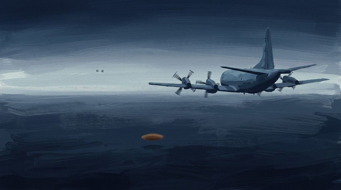
This heavily redacted mission report keeps two short UAP entries. At 1354Z an operator saw one UAP moving at a constant 40 knots between flight levels 160 and 170 (about 16,000 to 17,000 ft). At 2243Z, at a different grid, the operator saw two possible UAP estimated at 278 knots that sped up and turned south. war.gov titles the file "Arabian Gulf, 2020"; the mirror lists the location as the Mediterranean Sea. Both unredacted grids are in MGRS zones 34S and 35T, which cover the central and eastern Mediterranean, Greece and western Turkey (analysis by this write-up). No explanation is given. *Method note: war.gov blocks this server. This mission report was read from the original PDF served by the ufotransparency.com mirror. Most of its pages are image-only or blacked out, so the quotations were read from the rendered page images. Redactions are shown as [redacted].*
How plausible · Moderate
A redacted mission report records one steady UAP and a fast pair at set grids.
- ●●Access The ISR crew tracked it on their own sensor.
- ●●No gain sought An official reporting form.
- ●●Checkable details check out Released in PURSUE.
- ●○Restraint Describes motion and signature, no explanation.
- ●○Character record An official report; crew names withheld.
- ●○Fits the documented skeleton Part of the documented Range Fouler and PURSUE record.
Plausibility weighs how well an account fits where secrecy hides the documents by design, so missing records never count against it. Strength measures what is documented. Assessed 2026-10-23.
On the record
- "AT 1354Z, [redacted] OBSERVED 1X UAP IVO 34SCE7566990098. VELOCITY WAS 40 KNOTS AT FL160 TO FL170. UAP SPEED REMAINED CONSTANT." (DOW-UAP-D5, p. 5; read from the page image)
- "AT 2243Z, [redacted] OBSERVED 2X POSS UAPS IVO 35TQK1580995057. VELOCITY WAS ESTIMATED AT 278 KNOTS. UAPS INCREASED SPEED AND CHANGED DIRECTION TOWARDS THE SOUTH." (DOW-UAP-D5, p. 6; read from the page image)
- Both entries sit under a GENTEXT/UAP heading with an (S//REL) marking; the rest of pages 5 and 6, and pages 1-4, are blacked out under 1.4(a). (DOW-UAP-D5, pp. 5-6; read from the page images)