Screener "could not get a positive ID": a UAP over Iraq, 20 May 2022
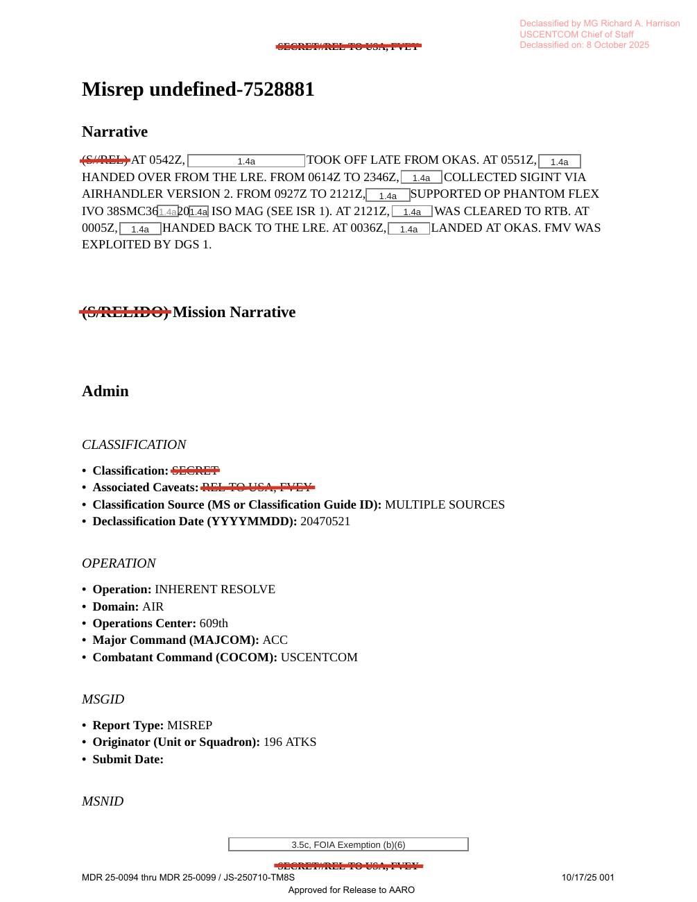
A 196th Attack Squadron ISR aircraft flying at 18,000 ft for Operation Inherent Resolve saw one UAP at 2043Z on 20 May 2022. It flew north to north-east, and the crew followed it as long as they could. The screener could not identify it, and its altitude, speed and trajectory are given as "UNK". The weather was not a factor. DOW-UAP-PR20 is a single released still image from a U.S. military system. Its official description links it to this report: an elongated area of contrast that the original reporter circled in red before submission. war.gov titles PR20 "Kuwait" while D12 is titled "Iraq". *Method note: war.gov blocks this server. Each mission report was read from the original PDF served by the ufotransparency.com mirror. Quotations come from the PDF text layer and were checked against the page images where the scan is poor. Redactions are shown as [redacted]. Field names such as "Observer Assessment of UAP" are the form's own labels. PR20 is an image; its content is taken from the official description reproduced by the mirror.*
Evidence, in date order (1)
- 2022DOW-UAP-PR20 (USCENTCOM to AARO)sensor dataStill image from a U.S. military system showing the circled area of contrast, cited to this report DOW-UAP-PR20 (war.gov), mirror page with the official description
How plausible · High
An ISR crew followed a UAP the screener could not identify; a sensor still is officially tied to it.
- ●●Access The ISR crew tracked it on their own sensor.
- ●●No gain sought An official reporting form.
- ●●Checkable details check out Released in PURSUE.
- ●●Physical traces or official reaction Sensor track with video confirmed.
- ●○Restraint Describes motion and signature, no explanation.
- ●○Character record An official report; crew names withheld.
Plausibility weighs how well an account fits where secrecy hides the documents by design, so missing records never count against it. Strength measures what is documented. Assessed 2026-10-23.
On the record
- "OBSERVED A UAP AT 2043Z FLY NORTH TO NORTH EAST AND FOLLOWED AS LONG AS POSSIBLE." (DOW-UAP-D12, p. 6)
- "SCREENER COULD NOT GET A POSITIVE ID ON THE UAP." (DOW-UAP-D12, p. 6)
- UAP block: Initial Contact DTG 202043:00ZMAY22; friendly aircraft altitude 18,000FT; number of UAP sighted 1; altitude, depth, velocity and trajectory "UNK". (DOW-UAP-D12, p. 6)
- Originator "196 ATKS"; Operation INHERENT RESOLVE; weather "(U) WEATHER WAS NOT A FACTOR"; declassification date field 20470521. (DOW-UAP-D12, pp. 1, 5)
- Declassified on 8 October 2025 by MG Richard A. Harrison; release stamp "MDR 25-0094 thru MDR 25-0099 / JS-250710-TM8S 10/17/25". (DOW-UAP-D12, pp. 1, 6)
- PR20: a 2022 still from a U.S. military system, submitted by USCENTCOM to AARO. The original reporter had added a red line around the area of interest. It shows an encircled, elongated area of contrast in the top-left quarter that increases in intensity from top-left to bottom-right. The description cites mission report D12. (DOW-UAP-PR20, official description as summarised by the mirror)
Claims
Where
Similar cases · sharing people, threads, topics or era
Connected cases
Threads · click one to see it on the board
Sources
- war.gov/ufo, PURSUE Release 01 listing (8 May 2026; not reachable from this server)
- Mirror file list for Release 01 (ufotransparency.com)
- DOW-UAP-D12 (war.gov), mirror page with the official description
- DOW-UAP-D12 original file, via mirror
- DOW-UAP-PR20 (war.gov), mirror page with the official description
- DOW-UAP-PR20 original file, via mirror